This is how troops can navigate with stars in absolute darkness

(U.S. Air National Guard photo by Staff Sgt. Jordyn Fetter)
SUMMARY
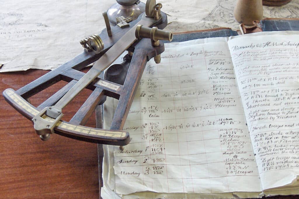
To most of us born in the era of advanced technology, it might seem impossible to navigate the earth with stars. Those who lived in the medieval ages used several methods to navigate during the day and night, but the most common and accurate was using the stars. Troops use the same technique to navigate in absolute darkness during missions and areas where GPS and other methods cannot work. The US Navy used to train its service members to navigate using stars years ago and is trying to reinstate the ancient method. The native Pacific islanders used stars and landmarks to navigate their Polynesian vessels over thousands of kilometers of the Pacific Ocean, and this navigation method goes back millennia.
Military service members are equipped with several skills during their training sessions, among them is the ability to navigate with the stars. When you observe a multi-angle photograph, you will realize that the stars are not fixed in a certain position. Therefore, we cannot use a moving star as a guide, especially when embarking on long journeys. Picking any star in the sky for reference will only lead you to a different destination.
This also pertains to the moon and the sun as they experience the same problem as stars. Although most people are of the opinion that following the sun is appropriate for navigation since it rises in the east and sets in the west, there is evidence that they are not true east nor true west. The only time the sun rises in the true east and true West is during equinoxes, and this occurs two times every year.
To successfully navigate using the stars, troops are taught to seek specific reference points that never change their positions regardless of the day or time of the year. Stars used generally for navigation are different, and it all depends on the hemisphere the troops are on. This is because stars in the southern hemisphere can only be viewed from that hemisphere, and the opposite is true in the northern hemisphere. The commonly used navigation method in the northern hemisphere is by checking Polaris, one of the few static stars. According to scientific evidence, Polaris sits on top of True North, therefore, can be trusted and used for navigation. Unlike other stars, Polaris doesn't move across the firmament. It is the firmament that moves around it, as do all the other stars. Identifying Polaris is quite easy as it shines the brightest among other stars in the constellation Ursa Minor.
When navigating with the stars, things can get a little tough for the southern hemisphere. After Polaris, the second most popular means of reading the stars is used in the southern hemisphere. The southern cross is used or otherwise known as Crux. This is seen as a cross but with an extra blemish star. This method is hard to master because any four stars in the sky can form a cross. It's worth noting, though, that on one side of the Crux, there are two adjacent bright stars. These two stars can be easier to locate than the Crux. These are called pointer stars and are always pointing towards the Crux, therefore the only confirmation of whether the Crux found is the real one.
Once you have identified the Crux, there will be one more thing to do: draw a line in your heading connecting the Crux to the pointers. Where the two lines will meet is true South. This is how troops navigate in absolute darkness using the stars and special equipment.
SHARE